Buses are the backbone of Auckland's public transport network, accounting for around 70% of all public transport trips in the city. The network covers most urban areas and many outlying towns, from Pukekohe and Warkworth to Helensville and Waiuku. All buses accept AT HOP card and contactless payment — cash is not accepted.
The basics
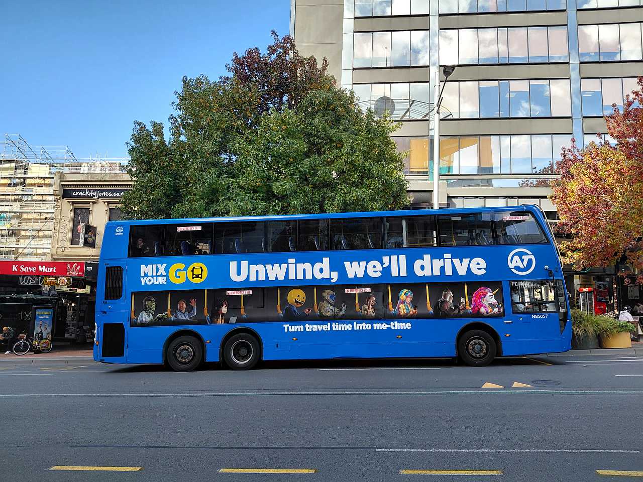
Auckland buses are operated by several contracted companies on behalf of Auckland Transport. All services use the same AT HOP card and contactless payment system. You tag on when you board at the front door, and tag off when you exit — usually at the rear. Forgetting to tag off will result in a maximum-zone fare being charged.
How to pay
The best way to pay is with an AT HOP card or contactless payment (bank card, Apple Pay, Google Pay). Both give the same discounted fare. Cash is not accepted on any Auckland bus. See the How to pay section on our Public Transport page for full details on AT HOP, concessions and the $50 weekly fare cap.
Frequent vs Connector routes
Frequent routes have two-digit numbers (e.g. 70, 30) or names (NX1, INN, WX1) and run at least every 15 minutes from 7am to 7pm, 7 days a week. Some run even more often. You can generally just turn up without checking a timetable. Connector routes have three-digit numbers (e.g. 321, 757) and run less often — check the timetable before you travel.
💡 Tip: On the AT network map, Frequent routes appear as thicker lines. Download the full network map (PDF) or use the AT Journey Planner to plan your trip.
Link buses
Five named Link services run circular routes through key inner Auckland corridors, all frequent and operating early morning to late evening 7 days a week:
Frequent bus routes
Auckland has 42 Frequent bus routes across the city, each running at least every 15 minutes from 7am to 7pm, 7 days a week. Around 750,000 Aucklanders live within a 10-minute walk of a Frequent stop.
Note: some routes share a corridor (e.g. 11T and 11W, 24B and 24R) and are counted together as one Frequent service — individually each is half-hourly, but combined they give a 15-minute or better service.
| Route | Description |
|---|---|
| NX1 | Hibiscus Coast / Albany → Britomart via Northern Busway |
| NX2 | Hibiscus Coast / Albany → City Universities via Northern Busway and Wellesley St |
| WX1 | Westgate → City Centre via Northwestern Motorway, Lincoln and Te Atatū interchanges |
| INN | InnerLink — Britomart loop via Parnell, Newmarket, Auckland City Hospital, K Rd and Ponsonby Rd |
| OUT | OuterLink — St Lukes to Newmarket via Mt Albert, Pt Chevalier, Westmere, Victoria Park and Parnell |
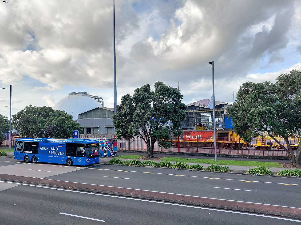
| TMK | TāmakiLink — Glen Innes to Britomart via St Heliers, Mission Bay and Tamaki Drive |
| 11 | Westgate → City Centre via Massey / Waimumu Rd, Lincoln and Te Atatū interchanges (11T and 11W combined) |
| 15 | Henderson → New Lynn via Glengarry Rd and Glen Eden |
| 17 | New Lynn → Glen Eden via Tirirangi Rd |
| 18 | New Lynn → City Centre via Avondale, Pt Chevalier, Zoo, MOTAT and Grey Lynn |
| 20 | St Lukes → Wynyard Quarter via Kingsland and Ponsonby Rd |
| 22 | New Lynn / Rosebank Rd → City Centre via Avondale, New North Rd, St Lukes and Kingsland (22N and 22R combined) |
| 24 | New Lynn → City Centre via Blockhouse Bay and Sandringham Rd (24B and 24R combined) |
| 25 | Blockhouse Bay / Lynfield → City Centre via Mt Roskill and Dominion Rd (25B and 25L combined) |
| 27 | Hillsborough / Hillcrest / Three Kings → Britomart via Mt Eden Rd (27W, 27H and 27T combined) |
| 30 | Onehunga → City Centre via Manukau Rd |
| 31 | Māngere Town Centre → Botany via Papatoetoe, Hunters Corner and Ōtara |
| 32 | Māngere Town Centre → Sylvia Park via Ōtāhuhu Station and Town Centre |
| 33 | Papakura → Ōtāhuhu Station via Great South Rd, Manurewa and Manukau |
| 35 | Manukau Station → Botany via Chapel Rd and Ormiston |
| 36 | Manukau Station → Onehunga via Papatoetoe and Māngere Town Centre |
| 37 | Manurewa Station → Highbrook via Weymouth Rd, Clendon, Puhinui and Preston Rd |
| 39 | Manurewa Station → Ōtara MIT via Clendon Park, Homai and Manukau |
| 12 | Constellation Station → Henderson via Greenhithe, Hobsonville and Westgate South |
| 13 | Te Atatū Peninsula → Henderson via Te Atatū Station and Te Atatū Rd |
| 14 | Lincoln Station → New Lynn via Lincoln Rd, Henderson and Great North Rd |
| 50 | Waiheke Island local services (50A and 50B) — connecting Oneroa, Surfdale, Ostend, Onetangi and Palm Beach |
| 65 | Glen Innes → Pt Chevalier via Greenlane, Balmoral and St Lukes |
| 66 | Pt Chevalier Beach → Sylvia Park via Mt Albert Rd, Mt Roskill, Three Kings, Royal Oak and Penrose |
| 70 | Botany → Britomart via Ti Rakau Dr, Pakuranga, Panmure, Ellerslie, Newmarket and Auckland City Hospital |
| 72 | Botany → Panmure via Pakuranga, Cascades Rd and Ti Rākau Dr (72C and 72M combined) |
| 75 | Glen Innes → Wynyard Quarter via Remuera Rd, Newmarket and City |
| 82 | Milford & Takapuna → City Centre via Wellesley St |
| 83 | Massey University → Takapuna via Albany Station, East Coast Bays and Northern Busway |
| 94 | Beach Haven → Takapuna via Highbury, Onewa Rd, Northcote and Akoranga Station |
| 95 | Bayview / Constellation → Britomart via Glenfield and Onewa Rd (95B and 95C combined) |
| 97 | Beach Haven → Britomart via Birkdale Rd / Rangatira Rd, Highbury and Onewa Rd |
Full timetables and maps for all routes: at.govt.nz/bus-train-ferry/all-timetables →
Northern Busway
The Northern Busway is Auckland's first and most successful rapid transit busway — a dedicated bus corridor running along the eastern side of the Northern Motorway (SH1) between Albany and Akoranga, with a one-way southbound lane continuing over the Auckland Harbour Bridge into the city. Opened in 2008, extended to Albany in 2022, the busway is completely separated from general traffic, making it fast and reliable even during peak hours.
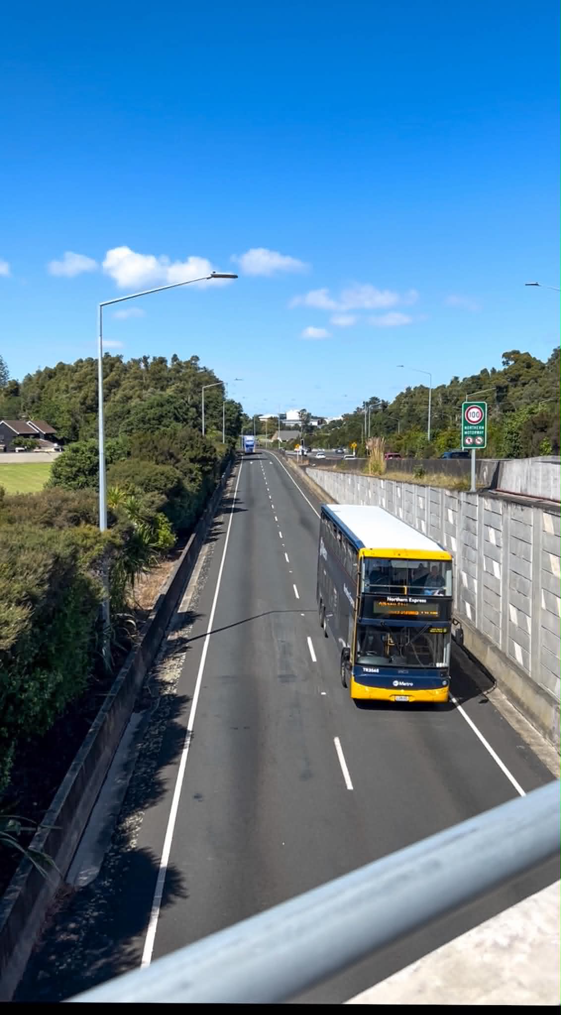
The busway has six stations: Albany (with Park and Ride), Constellation (Park and Ride), Sunnynook, Smales Farm (customer service centre), Akoranga and connections into the city centre. From Albany to the city centre takes approximately 30 minutes by bus — roughly half the time of driving during peak hours.
🔵 NX1 — Northern Express (Britomart)
Hibiscus Coast Station or Albany Station → Britomart (Lower Albert St) via all Northern Busway stations (Constellation, Sunnynook, Smales Farm, Akoranga).
The main North Shore to city centre express. Very frequent at peak times — up to every few minutes through the busway stations. Runs all day, 7 days.
🔵 NX2 — Northern Express (Universities)
Hibiscus Coast Station or Albany Station → City Universities via all Northern Busway stations, then Wellesley Street.
Same as NX1 through the busway, but continues to Auckland's university precinct on Wellesley Street rather than terminating at Britomart. Ideal for students at the University of Auckland and AUT.
🔵 866 — Northern Express (South via Hospital)
Albany Station → Newmarket via all Northern Busway stations, Ponsonby Rd, Karangahape Rd and Auckland City Hospital.
A useful route for passengers heading to Auckland City Hospital, Ponsonby and Newmarket from the North Shore — no need to transfer at Britomart.
🔵 83 — East Coast Bays
Massey University → Takapuna via Albany Station, Browns Bay, Mairangi Bay and the Northern Busway.
Connects the East Coast Bays suburbs (Browns Bay, Mairangi Bay) with the Northern Busway and Takapuna. Also links Albany and Massey University Albany Campus with the wider North Shore.
Western Express (WX1)
The Western Express (WX1) is Auckland's second rapid bus corridor — launched in November 2023, it runs along the Northwestern Motorway (SH16) between Westgate and the city centre, stopping at the Lincoln Bus Interchange and Te Atatū Bus Interchange. The route uses dedicated motorway bus lanes and is operated by TranzUrban with electric double-decker buses, introduced from April 2025.
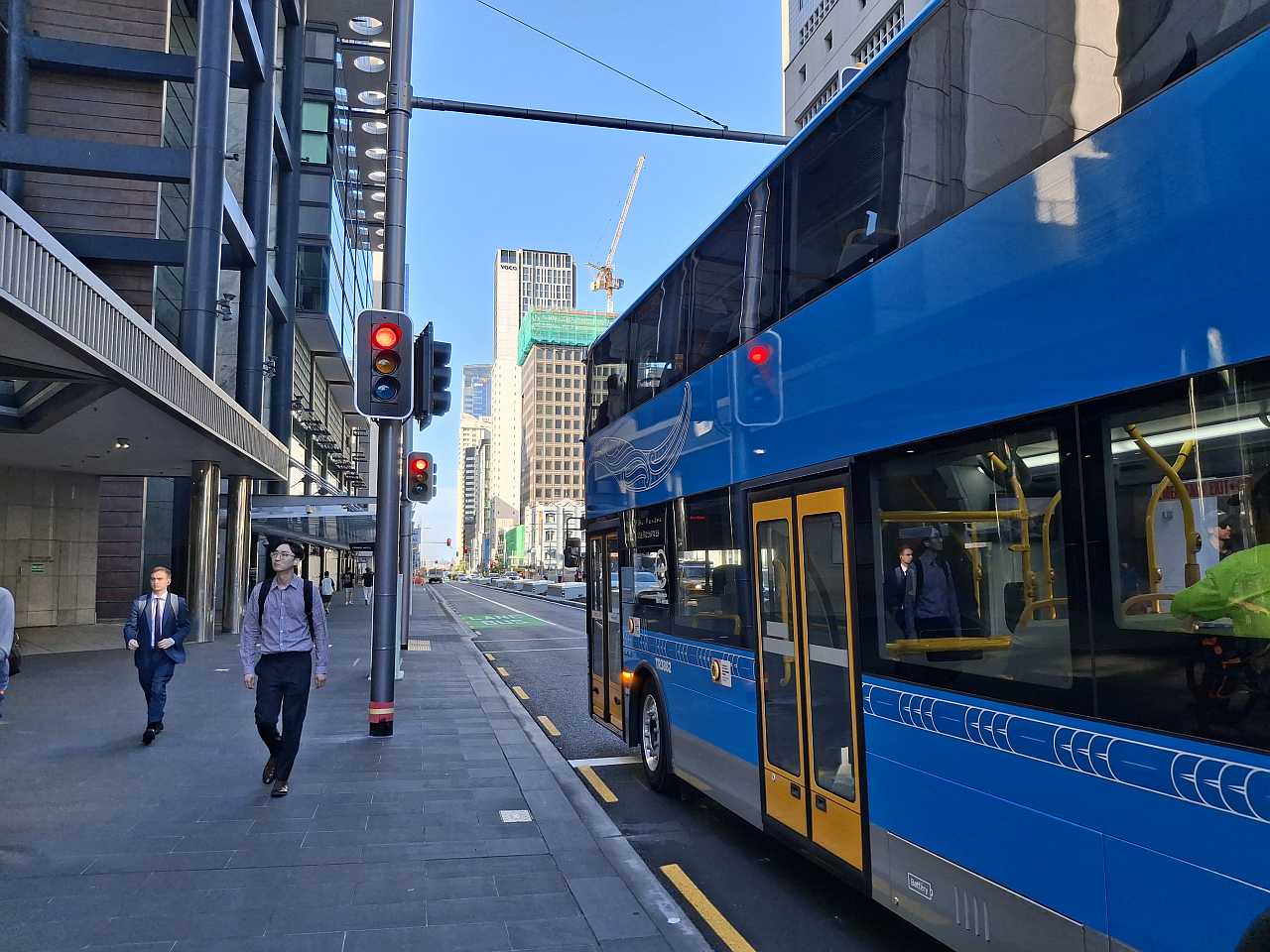
The WX1 is the fastest and most direct way to get from Westgate or the Lincoln/Te Atatū area to the city — travelling on the motorway between interchanges and on Great North Rd from Pt Chevalier into the city centre. It connects West Auckland's rapidly growing communities (Westgate, Whenuapai, Hobsonville, Kumeu) to the city centre without changing buses.
🟢 WX1 — Western Express
Westgate (NorthWest Shopping Centre) → City Centre (Lower Albert St) via Lincoln Bus Interchange, Te Atatū Bus Interchange, Newton Rd and Karangahape Rd.
Runs every 10 minutes at peak times, 7 days. Transfer at Lincoln or Te Atatū for buses to Henderson, New Lynn, Ranui and the rest of West Auckland. Operated by TranzUrban with electric double-decker buses.
💡 Routes 11T and 11W also run on the Northwestern Motorway between Westgate and the city, stopping at more local areas. Together with the WX1, they give up to 6 buses per hour to the city from the Westgate area on weekdays.
Eastern Busway
The Eastern Busway (part of AMETI — the Auckland Manukau Eastern Transport Initiative) is a dedicated bus rapid transit corridor being built along Ti Rākau Drive between Botany and Panmure. The first section between Panmure and Pakuranga opened in December 2021. The full extension from Pakuranga to Botany Town Centre is under construction, with completion expected in 2027.
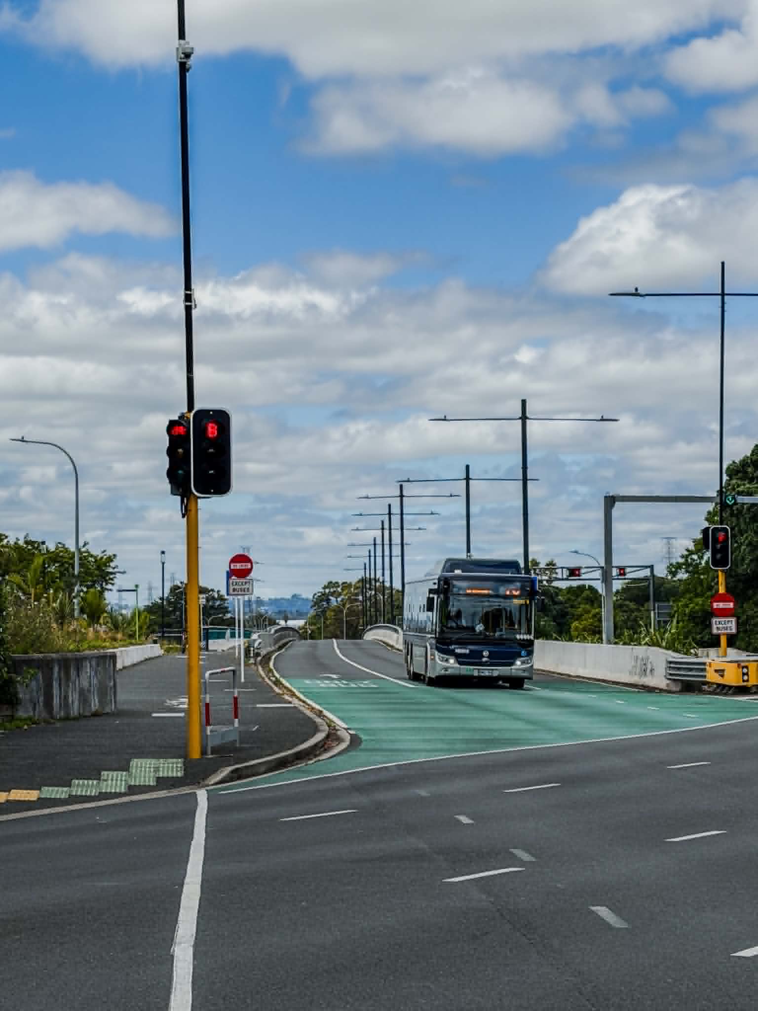
When complete, the Eastern Busway will provide a fast, reliable bus corridor for East Auckland — connecting Botany to Panmure train station, and from there to the wider rail network. With the City Rail Link opening in 2026, travel time from Botany to Waitematā Station is expected to be around 40 minutes. By 2028, the busway is forecast to carry 18,000 passengers per day.
The Rā Hihi flyover — a 600-metre, 18-metre-wide elevated road crossing Tī Rākau Drive — opened in late 2025, easing congestion in Pakuranga town centre and enabling construction of the busway beneath.
🟠 Route 70 — The Eastern Busway's flagship service
Botany Town Centre → Britomart via Ti Rākau Drive, Pakuranga, Panmure, Ellerslie, Newmarket and Auckland City Hospital.
Route 70 is Auckland's busiest and highest-patronage bus route, running every few minutes at peak times through the partially-completed Eastern Busway corridor. It uses the existing busway between Pakuranga and Panmure, where it connects with the Eastern Line train. From Panmure it continues to Britomart via Ellerslie and Newmarket. The journey from Botany to the city centre is now up to 17 minutes faster than before the busway opened. With buses running every 5–10 minutes on congestion-free lanes, Route 70 is one of Auckland's most-used public transport corridors. Frequent, 7 days.
🚆 Connecting to the train at Panmure: Route 70 stops at Panmure Station, where you can connect to the Eastern Line train to the city or to Manukau. When the City Rail Link opens in 2026, Panmure will connect to the East-West Line, providing a direct train from East Auckland to West Auckland.